TECHNOLOGY IN FARMING
Powerful Role of Drones in Agriculture
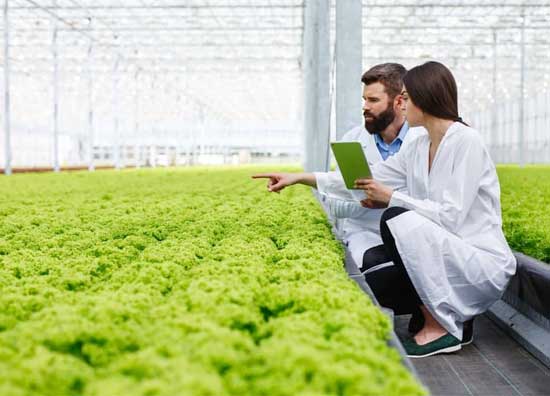
Farmers are able to use various high-tech sensing devices based on GPS, variable rate application, steering systems and remote sensing, as well as farm management software. The introduction and the use of modern and precise farm technologies brings revolutionary changes into farming. In other words, modern farm technology revolutionizes the way in which farmers work.
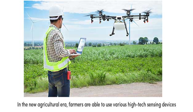
By using precise technology, farmers are able to optimize both farm productivity and profitability based on real-time field information thus protecting the environment, which can be a turning point to success.

“Drones can monitor any type of crop during its growing season, in any area.”
Drones collect raw data and translate it with algorithms into useful information. Therefore, they can be used for various applications in farming, such as the monitoring of the following parameters:
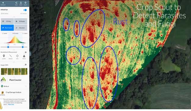
Crop health; damage made by pests, color change due to pest infection
Vegetation indices; leaf area, anomaly detection, treatment efficacy, phenology, yield
Plant height; plant height and density
Plant scouting; plant size, plot statistics, stand number, compromised plots, planter skips
Water needs; water-stressed parts of the field/orchard in need of watering
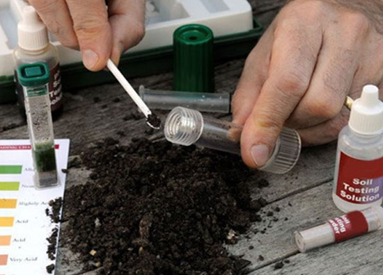
Soil analysis; nutrient availability for plant nutrient management
To summarize, drones help farmers optimize the use of inputs such as seeds, fertilizers, water, and pesticides more efficiently. This allows timely protection of crops from pests, saves time for crop scouting, reduces overall cost in farm production, and secures high yield and quality crops.
“Drones help farmers optimize the use of inputs such as seeds, fertilizers, water, and pesticides more efficiently.”
From Raw Data to Useful Information
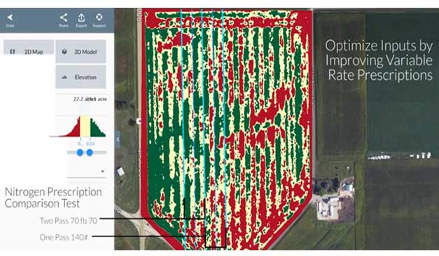
Flying over the field, the drone takes high-resolution pictures with a camera or sensor. Based on a measured parameter, these images are captured in different bands from visible (color), near-infrared to infrared spectrum. The collected images are raw data which requires further interpretation. Immediately after capturing the image, the images are directly sent to the cloud/software where different prescription maps are created depending on the operation the farmer wants to perform on the field. The maps can then be uploaded to the specific farm equipment which will adjust the number of inputs (seeds, fertilizers, pesticides) that would need to be applied to the field accordingly.
In the era of precision farming, drones are acting as an essential technology that will take farming to a completely new level. They are a cost-effective way to collect data about various crop conditions in a relatively short period of time. Drones have also shown great potential in the ability to provide sustainable farming, improve yield, and increase overall farm profitability.
Technology in farming is constantly evolving. Collecting accurate and reliable georeferenced data based on GPS coordinates and automated steering systems, along with the use of remote sensing (drones), is an essential part of precision farming which can optimize both farm productivity and profitability.
Although there are some risks and limitations, precision farming and related technology have great potential in dealing with the challenges of a modern farm production and at the same time protecting natural resources.
Text sources: UKY || GRDC || Tethered Drones
Image sources: Unmanned Aerial Online || Kapshop || sourceable.net || Unmanned Aerial Online
lables:
Other services & information :
Our Solutions Empowering the Food Value Chain
Eagllegroup offers an ecosystem of products and services that helps everyone connected with the Food Value Chain (farmers, producers, financial institutions, state governments, etc.) make smarter decisions. This results in lower production costs, reduced lending risk, better yields, efficient marketing, increased incomes and boosting food security.
Lower Production Costs
Reduced Lending Risk
Better Yields
Efficient Marketing
Increased Incomes
